
Dawarich
Your location history from Dawarich: distance, countries and cities on the Home dashboard, a day's places on a map, and a button to send where you are.
iPhoneMacOn this page
Dawarich is a self-hosted location history: your phone’s tracker app sends it where you are, and it keeps the points, the distance and the places. Pocket Homelab shows the totals, a day’s path on a map, and can put one point on the server when you ask it to.
What you get
- Home tile “Location” (green pin): this year’s distance, with countries and cities; all time when the year has nothing yet.
- Home header option “Distance this year”:
6,120 km this year · 4 countries · 21 cities. Show on this card (in Settings → Home layout) switches the tile or header to Distance today, Distance this month, Countries this year, Cities this year, Distance, all time or Points recorded. - A Location tab (off by default; Settings → Tabs) and a Spotlight entry “Location”.
- Mac: Location in the sidebar under Services, and a Location widget for Home with today, this month, countries and cities, and, when it shows rows, the year’s months as a chart and the all-time figures.
- No issue chip, no notifications. The app never records your position in the background.
Set up
- In Dawarich, open Account (your user menu) and copy the API key.
- In Pocket Homelab: Settings → Services → Dawarich, paste the base URL and the key, then Test connection. It reads the totals and answers with the number of points and countries.
| Key | Field | Required | Secret | Where to get it |
|---|---|---|---|---|
DAWARICH_URL | Dawarich URL | Required | — | Base address of your Dawarich server, for your location history. Leave empty to hide it. |
DAWARICH_API_KEY | Dawarich API key | Required | — | Your API key from Dawarich → Account. Stored in the Keychain. |
On iPhone
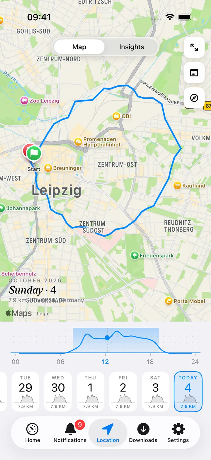
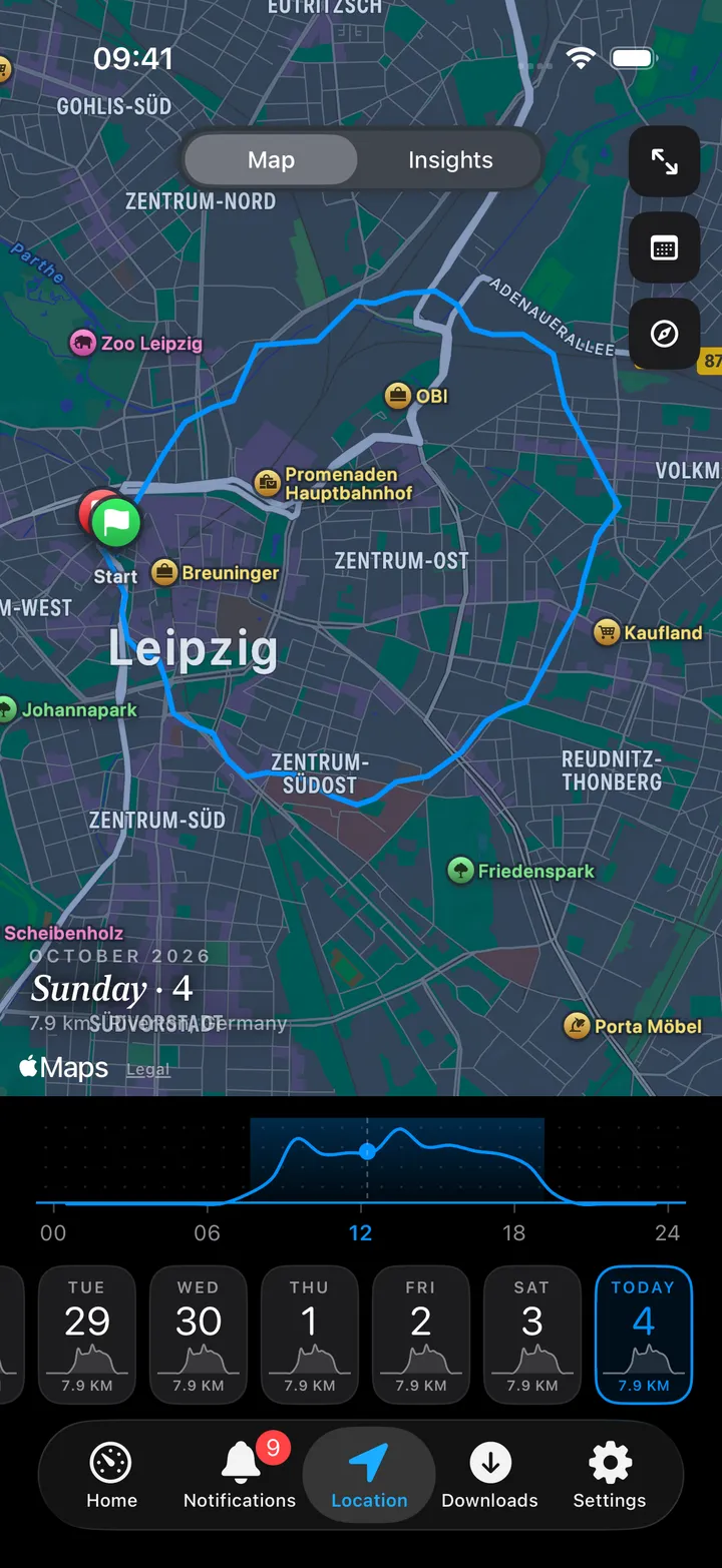
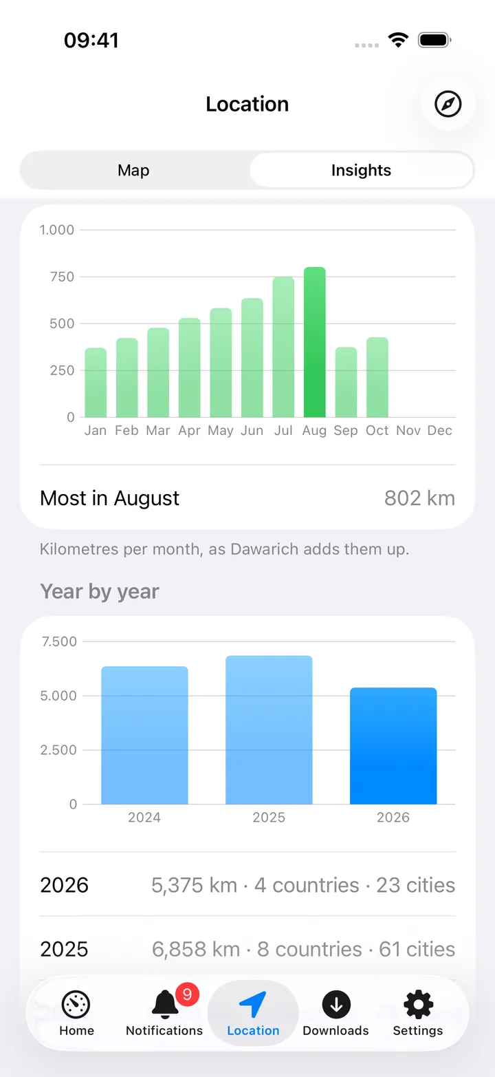
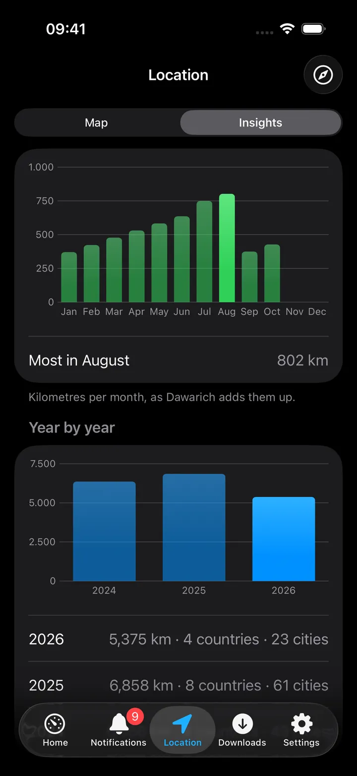
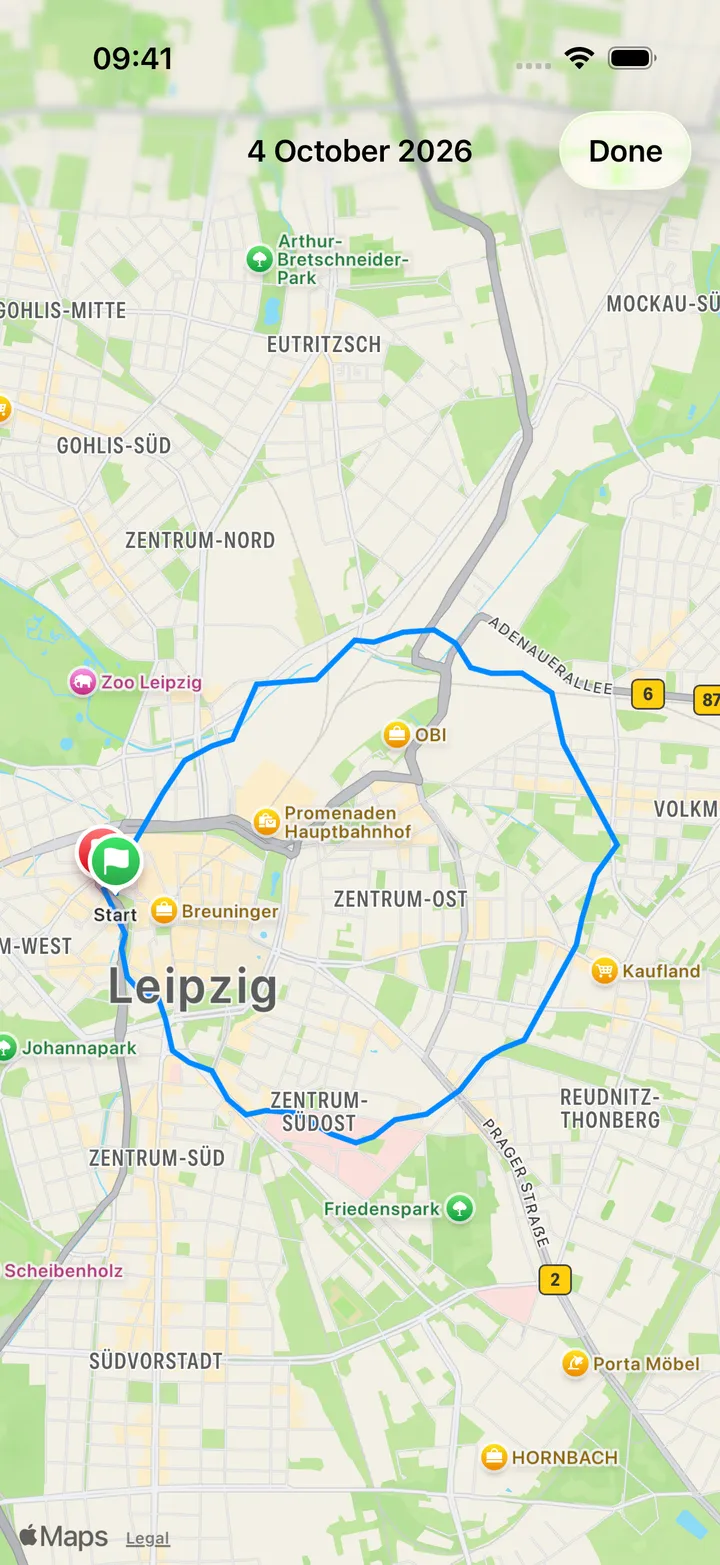
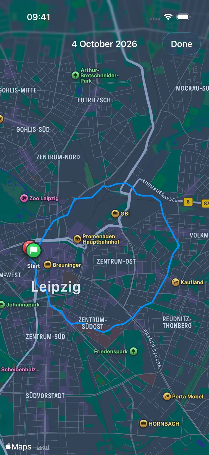
The screen has two faces, Map and Insights, switched at the top.
- Map: the day’s path filling the screen, with the date, the distance and the first place written on it and the Map / Insights switch floating at the top. Pan and zoom, swipe sideways to step a day, or open it full screen with the expand button; the other two buttons are Jump and Open Dawarich. The floating quick-action button stays out of the way on this face.
- Stays: where you kept to one spot for 15 minutes or longer, the map shows an orange clock pin labelled with
how long (
17m,6h 52m). Tap it and a callout opens above the pin with the place (what the server’s reverse geocoding calls it: a name, a street, a postcode or the city; when the server has not geocoded the points, the iPhone’s own geocoder names the spot), the city and region, the hours and the duration (12:38–19:30 · 6h 52m); × closes it. Tap another pin to switch. - The curve under the map is the distance hour by hour. Put a finger on it and move: a mark on the map shows where you were at that time, the time shows on the curve and under the date; a double tap clears it.
- The strip of days: Today at the right, the days before it a scroll back, each with its weekday, day, a sparkline of its hours and its kilometres. Tap one to see it. Earlier at the far end adds two more weeks, Jump opens a calendar for any day.
- Insights: This year and All time as cards (distance, countries, cities), the points recorded and how many of them carry a place name, the year month by month as a bar chart with the busiest month named, Year by year with a line per year when there is more than one, and Send my location.
- Send my location: asks for the iPhone’s position once (the system asks you for While Using the App access the first time) and puts it on the server as one point, with the time, altitude, speed and battery level. Nothing is sent unless you tap it.
- Open Dawarich in the toolbar opens the web app.
On Mac
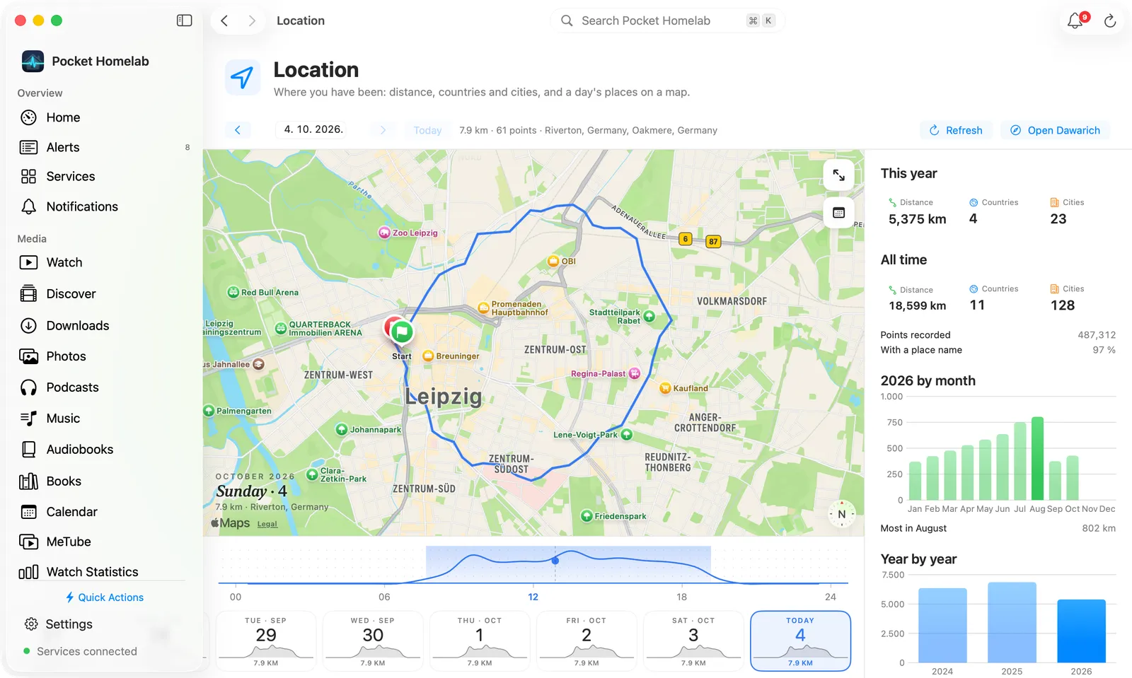
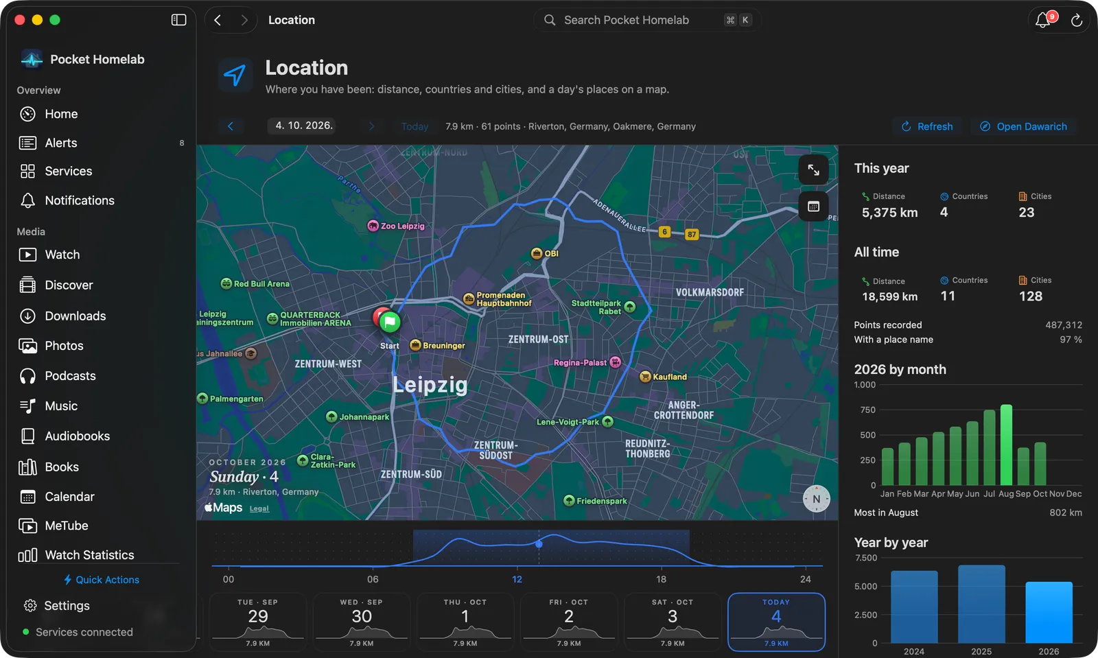
The Location workspace is laid out like Music: a bar on top with the day (arrows, a date field, Today, the day’s distance, points and places, Refresh, Open Dawarich), the day’s map as the main pane with the date written on it and buttons to open it in a window or Jump, the hourly curve under it (hover or drag to see where you were at that time), and the strip of days. The right-hand column holds the insights: this year and all time, the points recorded, the month and year charts, and Send my location, which uses the Mac’s position with Location Services permission.
Click a stay’s orange pin to open the same callout as on iPhone (the place, the city and region, the hours and how long) at once; click another pin to switch, and the pin again or × to close it.
Actions
- Send my location: one point, now, through Dawarich’s Overland endpoint (
POST /api/v1/overland/batches). Dawarich lists it like any other point; it is not a replacement for a tracker app.
Works with
- Nextcloud Notes: no notes about a day yet.
- A tracker app on the phone (Overland, OwnTracks, Dawarich’s own) does the recording; Pocket Homelab only reads what it stored.
Tips & troubleshooting
- The day’s distance is lower than in Dawarich’s web app: the app leaves the tracker’s noise out (fixes worse than 100 m, steps under 25 m while standing about, jumps faster than 300 km/h), so a day indoors does not add up kilometres of jitter.
- A day’s path stopped at midday in builds before 4 October 2026: the app read only the first thousand points of the day. It now reads every page, so a long drive shows whole.
- A year shows no countries and cities, or a dash: Dawarich counts a year’s places from the names its reverse geocoding found; until it has run (Map → Reverse geocode in Dawarich, or its background job) the per-year counts are empty and the app leaves them out rather than show zeros. The all-time counts come from the points’ own country and city and may be there regardless.
- Everything is 0 or empty: the key must be the one from Account, not a token from another app. Test connection says what the server answered.
- A stay card says only “Stay” with coordinates: neither the server nor the device could name the spot. The server’s reverse geocoding (Dawarich → Map → Reverse geocode, or its job) gives the best names. A stay is any stretch within 100 m of one spot for 15 minutes or longer; two at the same spot with under ten minutes between them count as one.
- The strip and the day load faster since 4 October 2026: the days in the strip ask the server for position and time only, one request per day, and a day seen once is kept in memory for the rest of the session (never on disk, never today). Stays are named as soon as the day arrives, so a tap on a pin answers at once.
- A day shows no points although the web app has them: the app asks for the day in the phone’s time zone; a point recorded late in the evening may sit on the next day in Dawarich’s own timeline.
- Send my location fails with a location error: allow Location for Pocket Homelab in Settings → Pocket Homelab → Location (iPhone) or System Settings → Privacy & Security → Location Services (Mac).